Public meeting to help map flood hotspots in Hassocks


Flood risk groups are calling on villagers to help map flooding hotspots and identify sites for rain gardens.
The meeting will run from 10am to 1pm at the Hassocks United Reformed Church (URC) in Keymer Road.
Advertisement
Hide AdAdvertisement
Hide AdDusty Gedge, an international leader in green infrastructure, will speak at 10.30am.
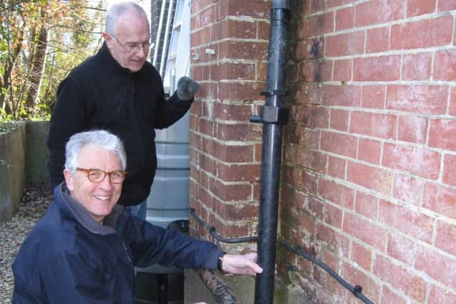
HKD Transition and the Hassocks Amenity Association have been working in partnership to address flooding and environmental concerns about the Herring stream, which flows through Hassocks.
With guidance from the Ouse and Adur Rivers Trust (OART), volunteers have started work on natural flood management along one branch of the stream, and OART have trained a group of community volunteers to monitor water quality and aquatic life where the stream enters and leaves the village.
The groups have started to look at how Sustainable Drainage Systems (SuDS), known as rain gardens, might reduce surface water flooding and runoff into storm drains.
Advertisement
Hide AdAdvertisement
Hide AdWith funding from West Sussex County Council’s Operation Watershed, the group is mapping flood hotspots and potential sites for rain gardens and other SuDS measures.
The aim is to produce a report and map that identifies areas of the village where the maximum impact on surface water flooding could be achieved. Another public meeting in June will present the project’s findings and recommendations.
Don’t miss out on all the latest breaking news where you live.
Here are four ways you can be sure you’ll be amongst the first to know what’s going on.
1) Make our website your homepage
2) Like our Facebook page
3) Follow us on Twitter
Advertisement
Hide AdAdvertisement
Hide Ad4) Register with us by clicking on ‘sign in’ (top right corner). You can then receive our daily newsletter AND add your point of view to stories that you read here.
And do share with your family and friends - so they don’t miss out!
Always the first with your local news.
Be part of it.