

He took to the skies in 2005 to document the town. Has it changed much? See also: Aerial pictures show Hastings through the decades See also: 26 pictures of Hastings, Rye and Camber from above
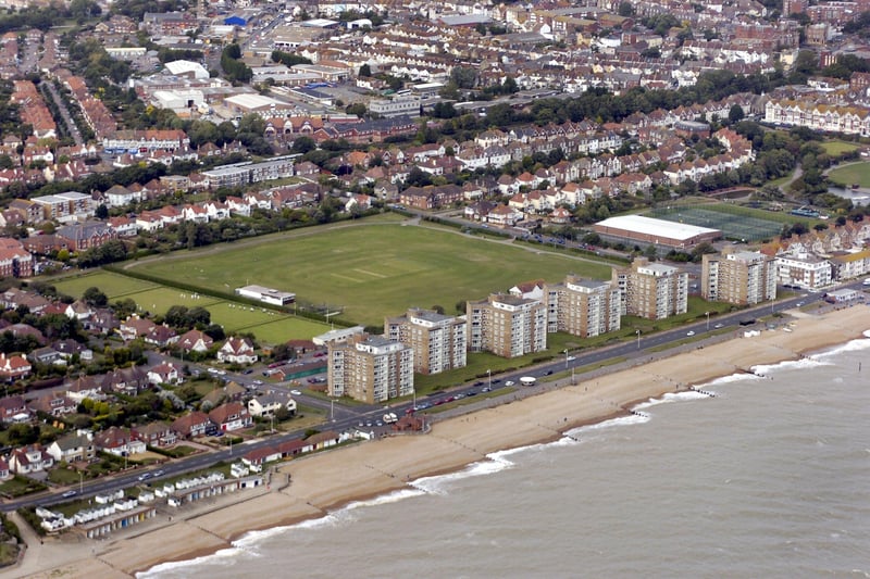
1.
Aerial photos 2005: Bexhill area The Polegrove SUS-210403-155834001
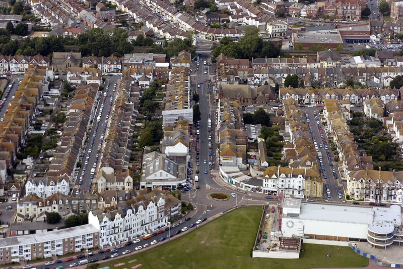
2.
Aerial photos 2005: Bexhill area Sackville Road roundabout SUS-210403-155856001
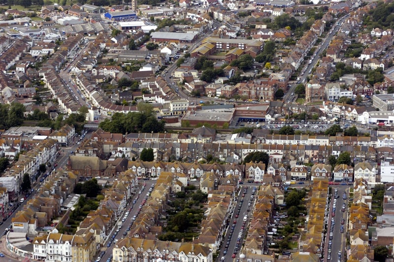
3.
Aerial photos 2005: Bexhill area SUS-210403-160003001
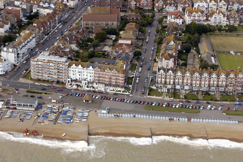
4.
Aerial photos 2005: Bexhill area SUS-210403-160014001
1 / 6